
When China to USA Gulf Coast Routing Makes More Sense
When China to USA Gulf Coast Routing Makes More Sense
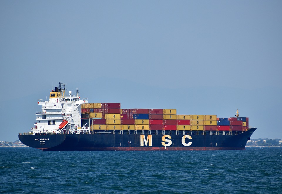
The Gulf is not a back-up for the East Coast. It serves a different cargo mix, a different hinterland and a different industrial base, and routing general consumer goods there usually produces a longer and more expensive journey than routing them to Savannah or New York.
Knowing when the Gulf is right is mostly a matter of knowing what it was built for.
What the Gulf actually serves
Houston is the largest petrochemical port complex in the United States, and a substantial share of its cargo is project, breakbulk and heavy equipment for the energy and construction sectors rather than containerised consumer goods. New Orleans and Mobile serve agricultural and bulk exports alongside container traffic.
For an importer of machinery, industrial components or oversized equipment destined for Texas or the central states, this is a genuine advantage. For an importer of seasonal apparel, it is a detour.
The container capability has grown, and it would be wrong to describe Houston as a non-container port. It would be equally wrong to describe it as interchangeable with Savannah or New York, because the sailing frequency and the inland geometry are different in kind.
For an importer of consumer goods, the honest conclusion is that Houston is viable but rarely optimal. It becomes optimal when the destination is close enough that the inland saving exceeds the ocean and frequency penalty, and that combination is narrower than the port's marketing suggests.
The channel that sets the ceiling
Houston's constraint and its advantage are the same asset: the Houston Ship Channel. Project 11, the deepening and widening programme, took the Barbours Cut and Bayport channels to 45 feet and widened the Galveston Bay reach from 530 feet to 700 feet, with a new 1,000-foot passing lane near Bayport. The programme exceeded $1 billion.
The sequencing matters for planning. The Port Houston-led dredging segments were completed on 27 October 2025, while the remaining federal segments are scheduled through 2029. In practice this means the main container channels are now at depth, and the wider programme continues to affect vessel movements and berth windows on some reaches.
Depth also governs how much a vessel can load. A ship that is depth-limited at one port may sail with a lighter load from it, which affects the availability of slots on that string in a way that shows up as a space constraint rather than a channel constraint.
The passing lane is a smaller item with a large effect on schedule reliability. Two-way traffic at a single point forces vessels to wait for a window, and removing that constraint improves the predictability of arrival times more than it improves the sailing time.
Inland from Houston
Houston sits roughly 240 miles from Dallas and about 1,090 miles from Chicago, which makes it the natural entry for Texas distribution and a plausible rail entry for the central states.
The rail connection is the part that decides whether the Gulf routing works. Cargo that is going to Chicago can move by rail from Houston, but the allocation and the ramp cut-off behave the same way they do on the West Coast, and the transit advantage over an all-water East Coast routing narrows once the rail leg is added.
Truck capacity out of Houston is shaped by the same industries that shape the port, which means capacity tightens when energy projects are active rather than when retail volumes rise. That is a different seasonality from the one most importers plan around.
When the Gulf is the wrong answer
1. The destination is east of the Mississippi and near an East Coast port.
2. The cargo is consumer goods in standard containers with a seasonal deadline.
3. The shipment is small enough that the reduced sailing frequency becomes a waiting problem.
4. The inland leg from Houston exceeds the distance from an East Coast port to the same destination.
The fourth case is the one that appears most often in practice. An inland leg from Houston to a Southeast destination is frequently longer than the leg from Savannah, and the comparison that looked favourable at the port turns unfavourable at the warehouse door.
Decision points
Choose the Gulf when the destination is in Texas or the central states, when the cargo is industrial or oversized, and when the sailing frequency on the lane is sufficient for the volume.
Choose against it when any of those three fails. The Gulf is a specialist gateway, and treating it as interchangeable with the East Coast is how shipments end up crossing the country twice.
The routing that looks unusual on a map is often the correct one on an invoice. The Gulf is that case more often than importers expect, and less often than its proponents claim.
Write the decision down, including the conditions under which it would be revisited, so that the next shipment does not reopen a question that was already settled.


